Natural Science
Home Woods Nettleton Protected Verge
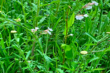
Article by Julia Howey Since 2021, a team of Parish volunteers has been managing four verges as part of a Wiltshire Council Highways initiative to showcase and promote wildflower friendly management cutting schemes for roadside areas. Verges are home to almost half of our native flora so they really need Read more